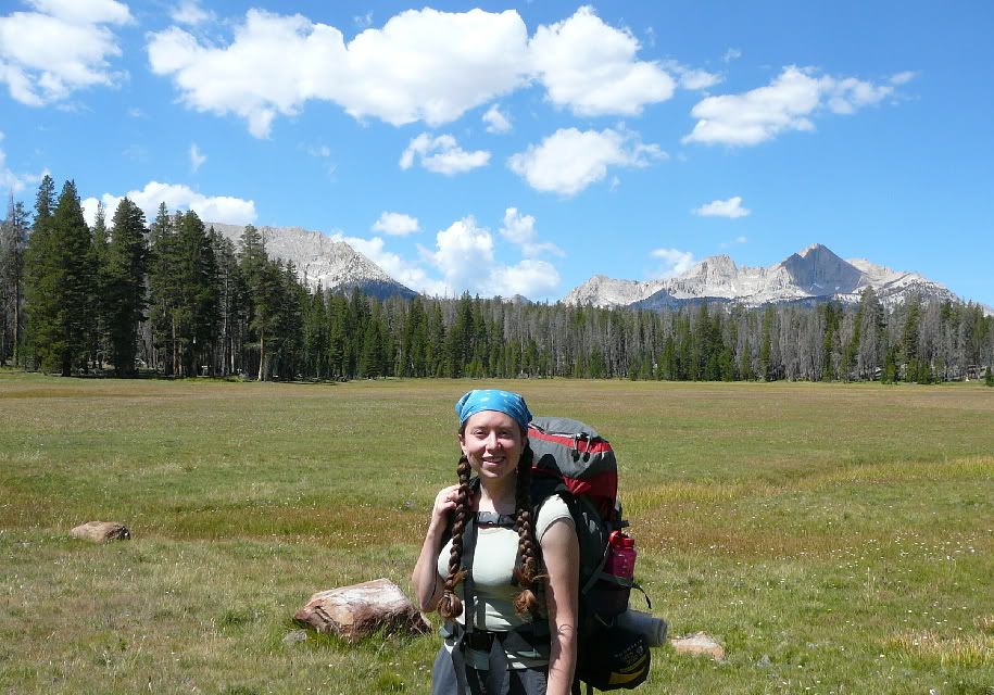
Backpacking
the Sierras from Mineral King, Sequoia National Park
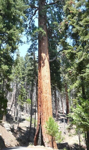
Driving the 25 mile, 1.5 hour road to mineral king -
here's one of the huge trees the park is named for. But we kept
going, up past the sequoia groves.
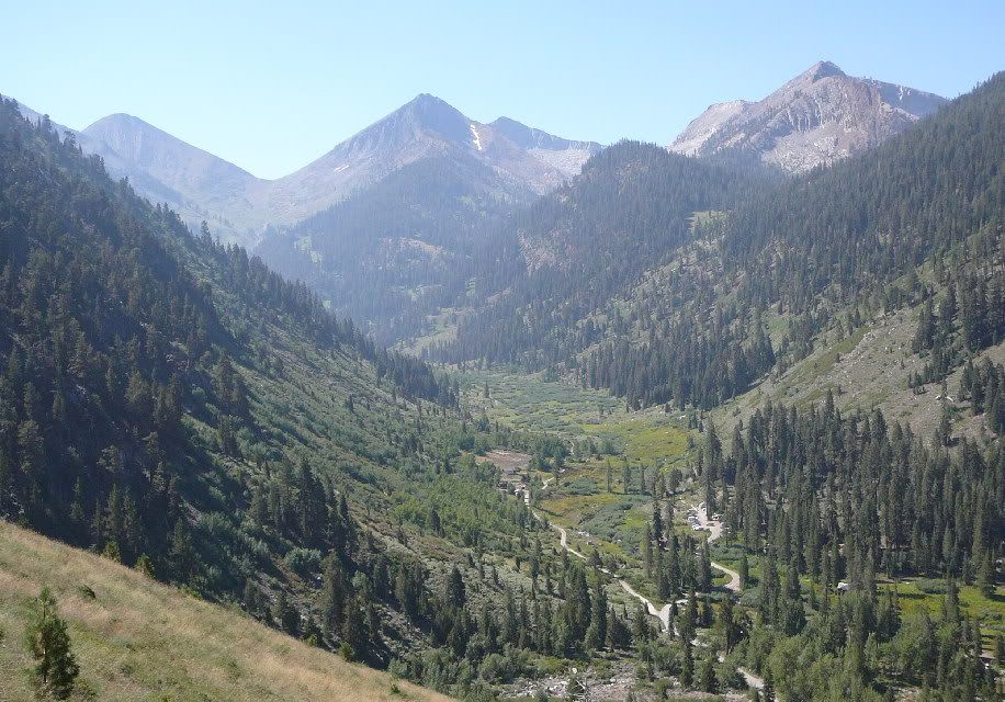
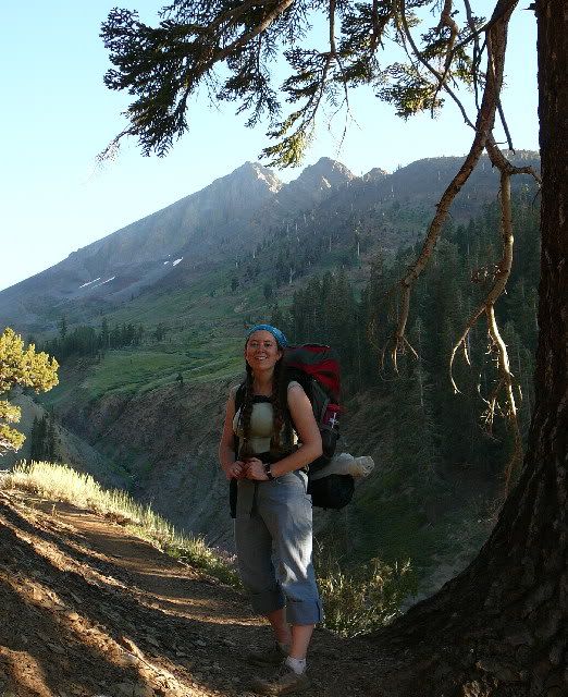
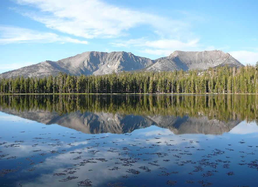
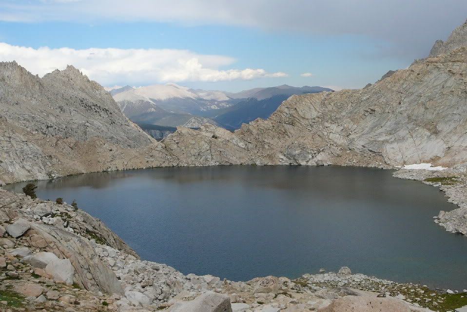
Mineral King is a scenic, remote valley in the southern
Sierra range. This picture was taken on Sunday at the end of our
56 mile trek, but it shows the area we started out from.
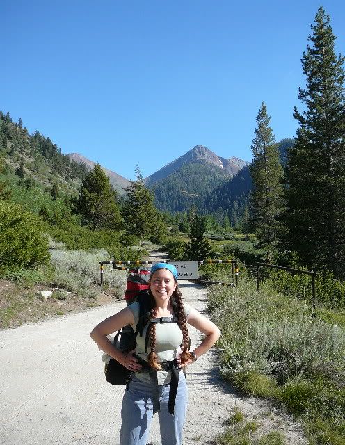
Here's the trailhead we started from (elevation
7800ft), looking south up the
Franklin Valley.
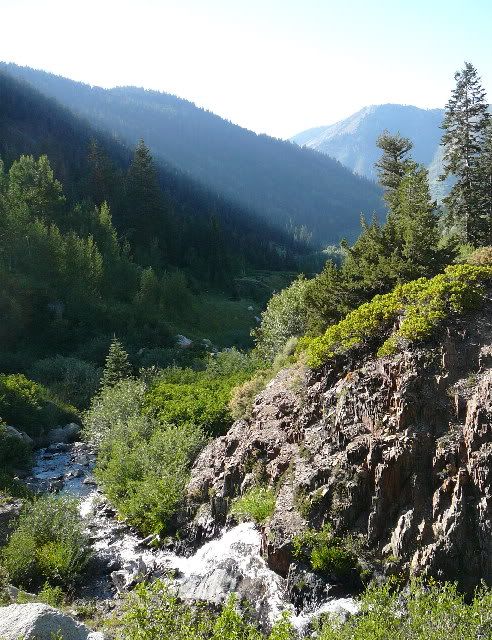
We started late in the day on a Monday - looking back down
the valley, this shot shows visible sunlight coming over the hills, and
waterfalls below.
Still climbing up toward the mountains at the head of the
valley.
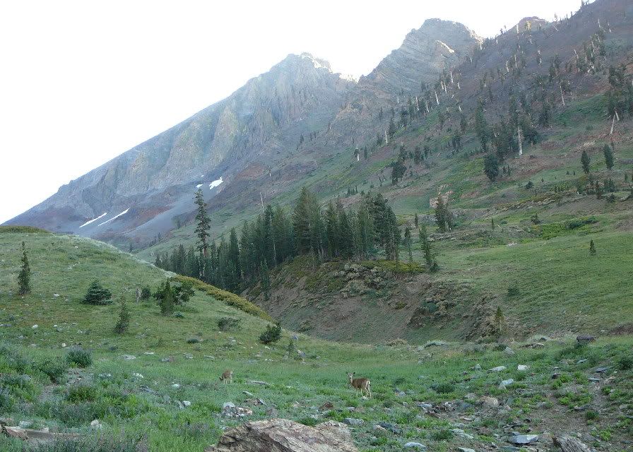
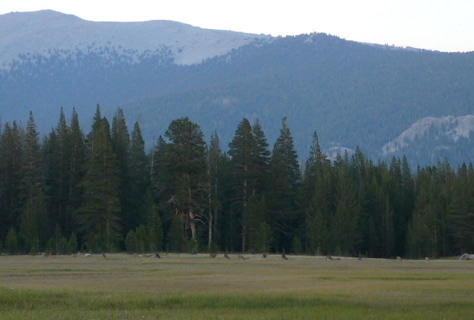
Starting around 4:45pm, we saw 35 deer before stopping to
set up camp. They were surprisingly un-shy, and many walked
through our camp that night.
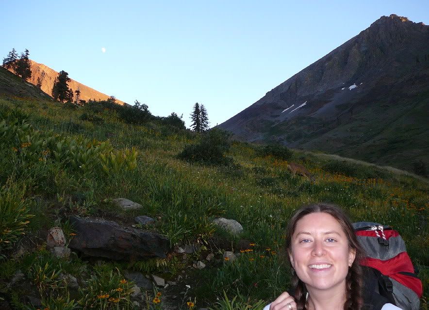
Photographic multitasking: Amanda, a
deer, yellow flowers, mountains in shadow and in sun, moon.
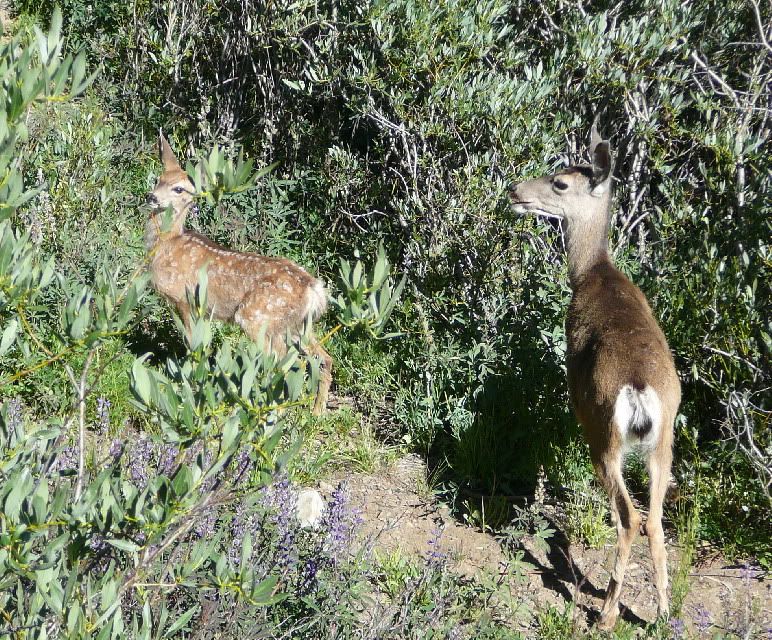
A couple more barely-concerned deer.
On Tuesday, we climbed up to alpine the Franklin Lakes...
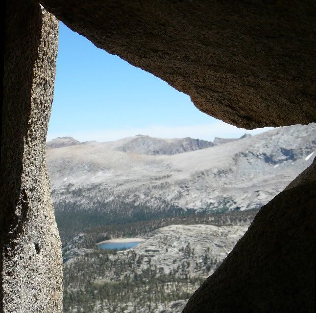
...on our way up to 11700ft Franklin Pass, where I took
this photo from within a maze of boulders.
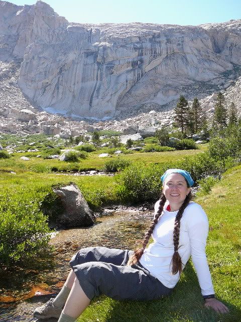
On the other side of the pass, we dropped down into a
little deer meadow ("mowed" regularly) and refilled our water bottles
at the clear stream.
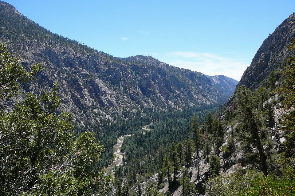
Wednesday morning, we descended with Rattlesnake Creek
into hot and dry Kern Canyon.
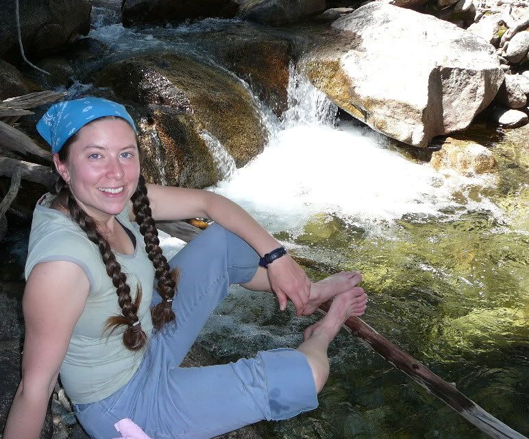
At the bottom (6500ft), we cooled our feet in the
stream. That night we visited natural hot springs for a warmer
soak.
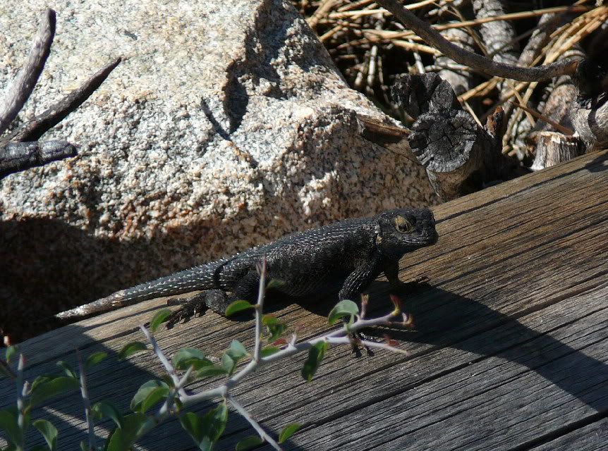
Climbing out of Kern Canyon on Thursday, we saw a coyote,
and later watched this lizard grab a fly that made the mistake of
landing nearby.
"Sky Parlor Meadow" is a huge deer-grazed lawn with a mountainous
backdrop.
We came back in the evening to watch them browse, but
these deer were surprisingly skittish (perhaps a mountain lion nearby).
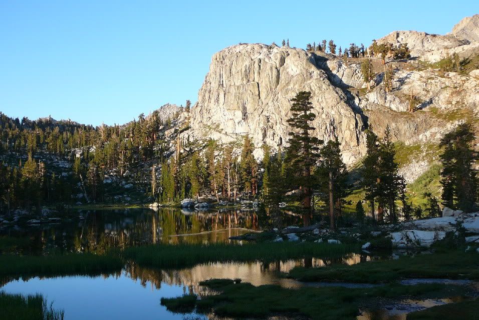
We camped at beautiful Moraine Lake (in time to shelter
from a brief hail-storm), where reflected mountains in the water were
interrupted only by some curious pink floating flowers.
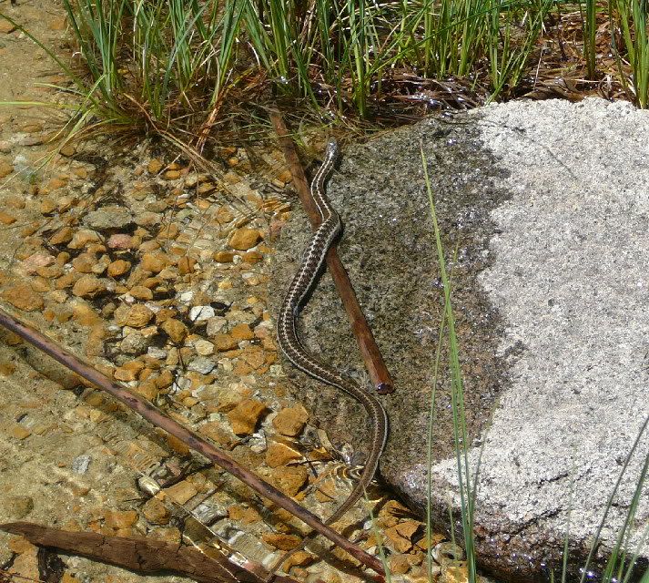
The lake was warm enough for swimming. As I sat in
the water, this snake (Sierra garter?) swam directly behind me.
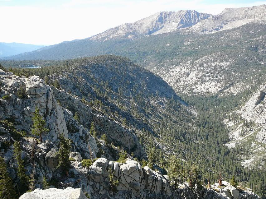
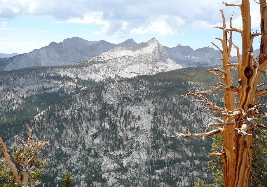
Hiking along the Chagoopa Plateau on Friday (Moraine Lake
visible on the left), and looking down Big Arroyo.
Looking up Big Arroyo from the same spot.
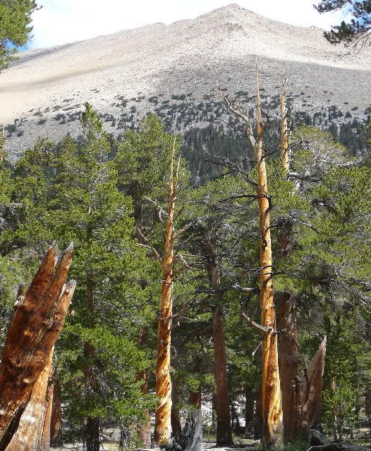
This dead pine (left-center) shows a surprising (but
common) spiral growth pattern.
Another striking dead tree, with sunlit and shaded
mountains on the other side of Big Arroyo.
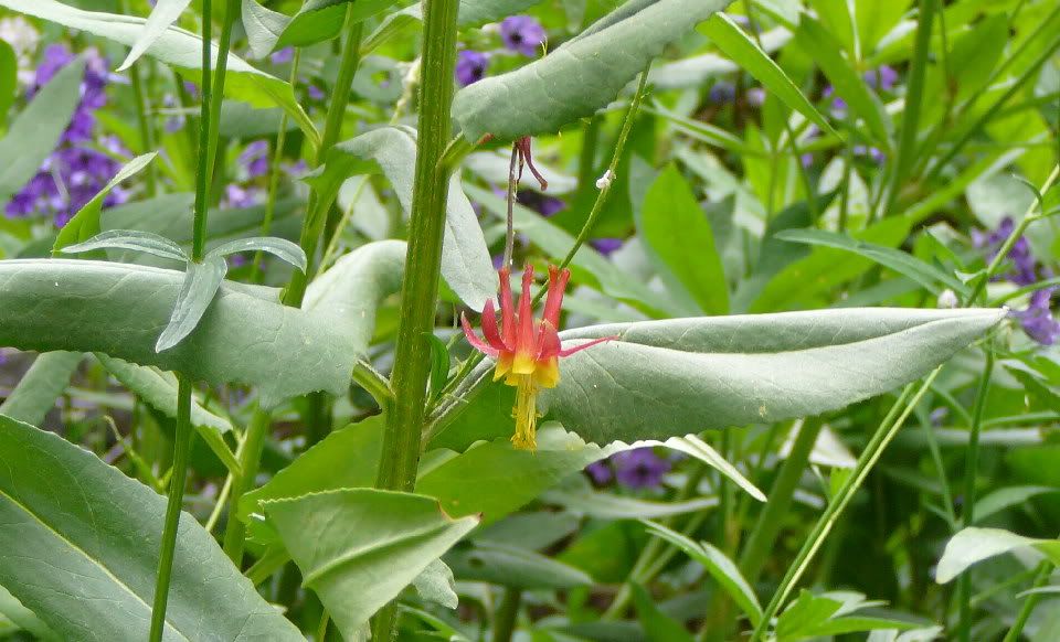
One of my favorite flowers of the great variety that grew
along our path.
After crossing Big Arroyo at the upper end, we found a
lakeside campsite. Here, morning sun illuminated the cliff that
towered over the water.
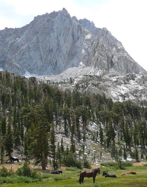
After leaving the lakes area Saturday morning, we started
climbing Lost Canyon, eventually coming across this group of horses and
mules.
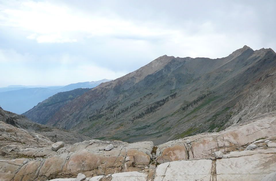
At the top of the canyon, we started the really steep
climbing. Looking down canyon here, you can see the afternoon
rain starting up somewhere (left).
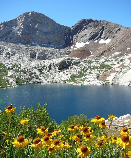
That climb brought us to Columbine Lake (10900ft), where
views extended to Black Rock Pass (right) - a striking contrast against
the lighter mountains. Nearby we stopped and cooked a snack of
coconut ginger Thai noodles, and waited out a brief rain shower.
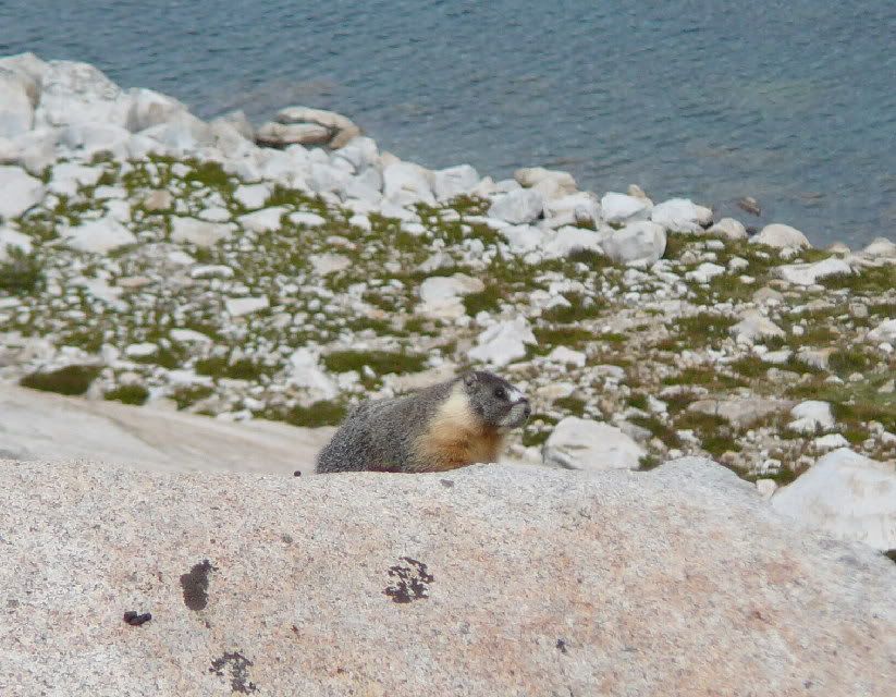
Then we started the really steep climbing up toward jagged
Sawtooth Pass. This colorful marmot was very cooperative in
posing for the camera.
Looking back down on Columbine Lake, its granite bowl, and
the mountains beyond... and the marmot (lower right, on a big rock).
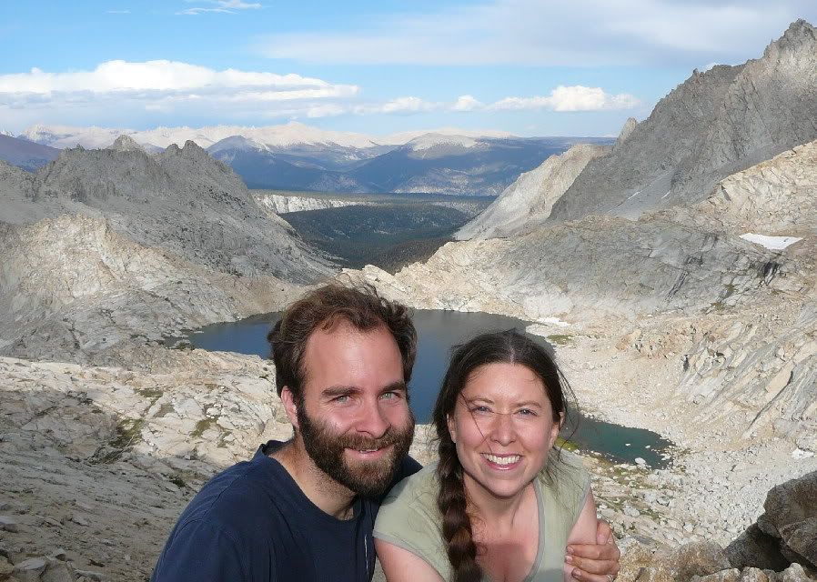
Looking back from Sawtooth Pass (11600ft). We were
surprised how quickly and easily we did the climb (little food left, so
the packs were light).
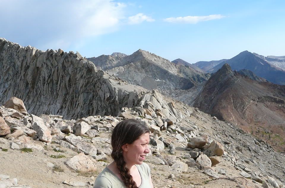
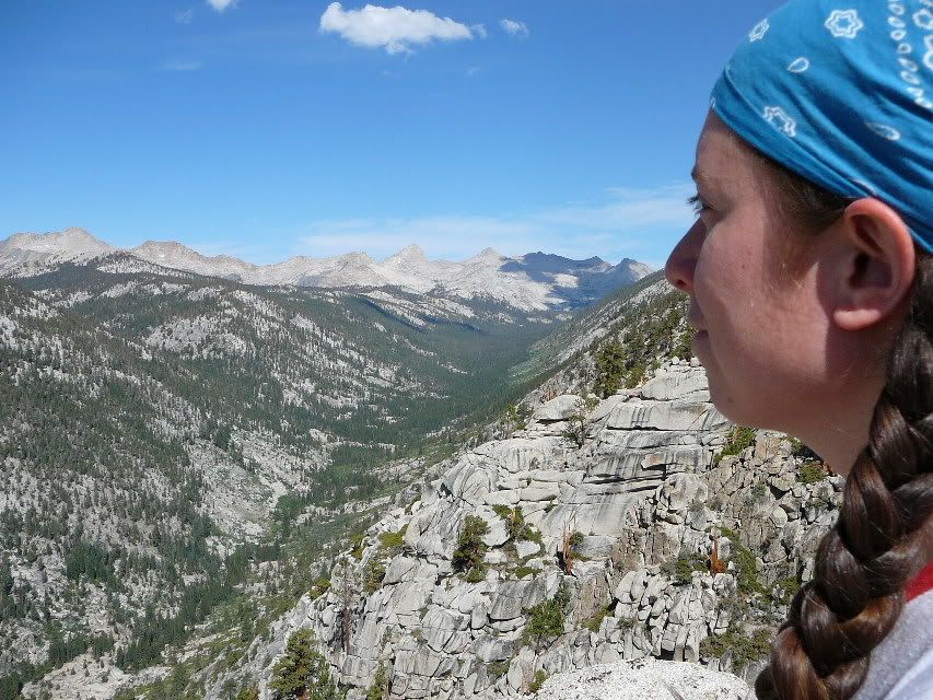
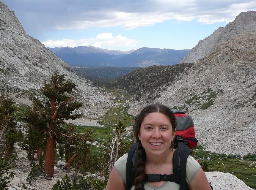
Amanda squints at the sun as we stand among the
mountain-tops.
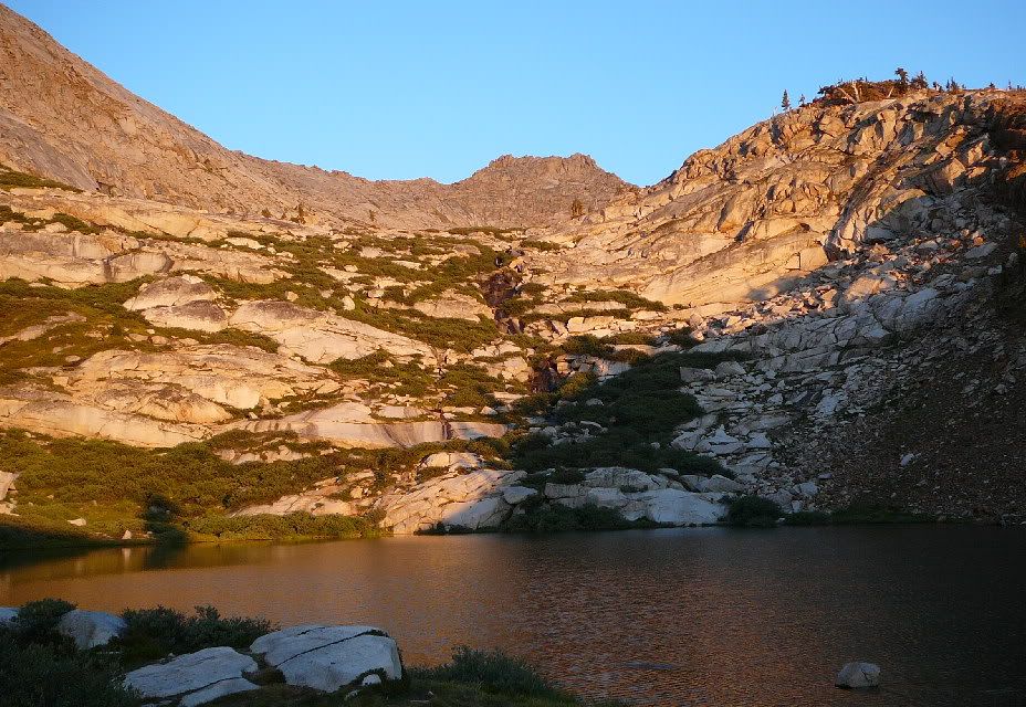
After a rough climb down from the pass, we camped at Lower
Monarch Lake (shown here by evening light).
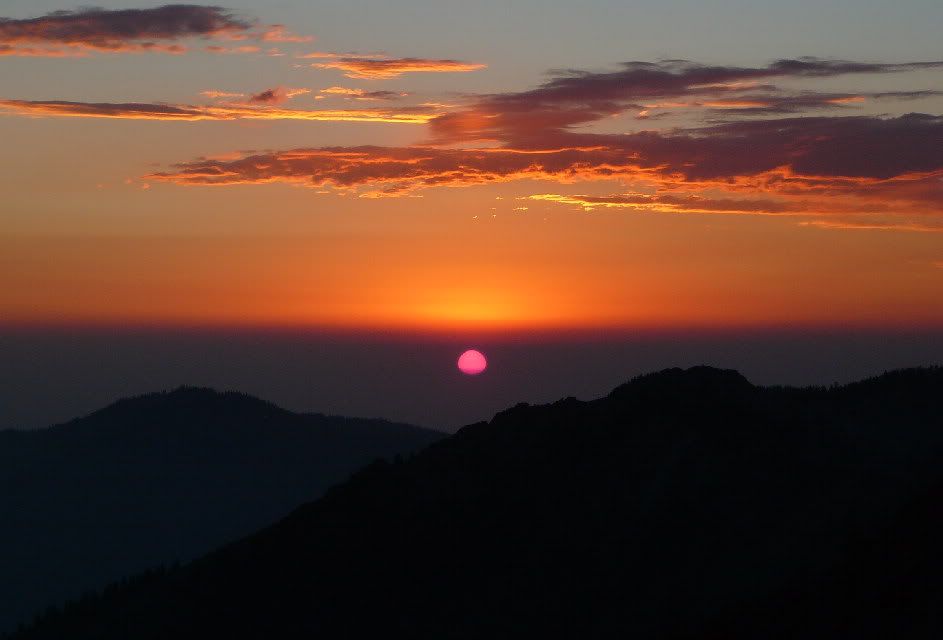
Sunset from near the lake - as the sun sank into the heavy
layer of haze over the Central Valley, it turned pink and its shape
began to warp.
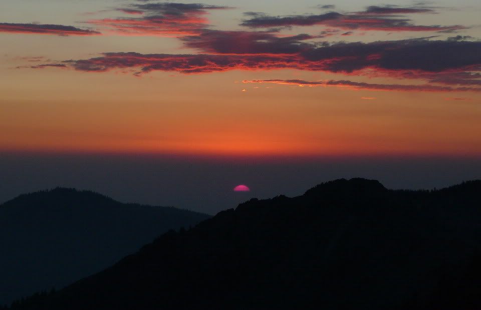
At last, the sun hit a layer of haze so thick that it
disappeared before it hit the hills.